
Los Angeles Drone Gallery
Drone footage from Los Angeles highlights the area’s blend of cityscape, canyonlands, and coastline. Captured with the DJI Mini 4 Pro, these aerial views trace highways, hiking trails, and oceanfront zones across the LA basin. From the mountains to the beach, the images reveal a layered view of movement and terrain from the air.
Sunken City
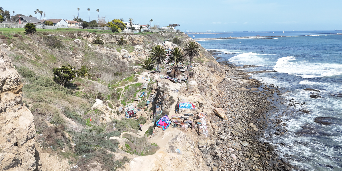


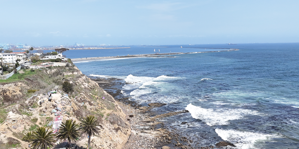
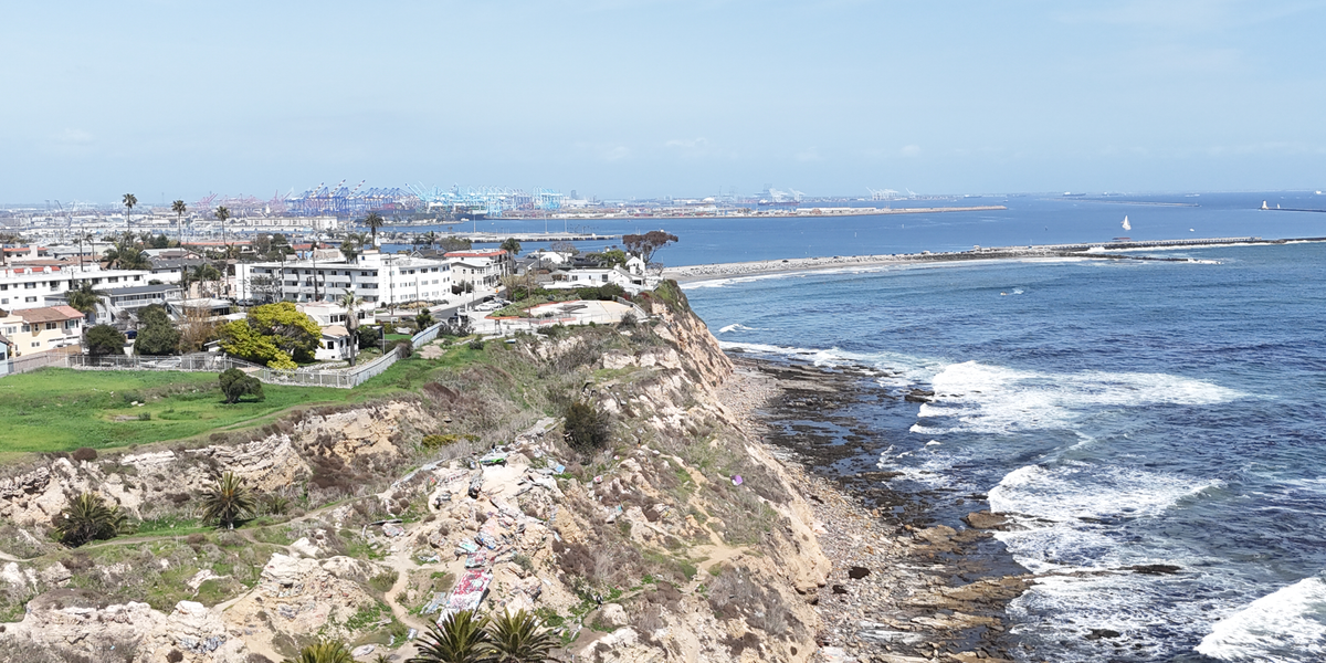

At the edge of the cliffs in San Pedro, remnants of a landslide in the 1920s created the broken landscape known as Sunken City. Tagged concrete, eroded bluffs, and ocean backdrops make the site a landmark of urban decay and coastal geology.
San Gabriels


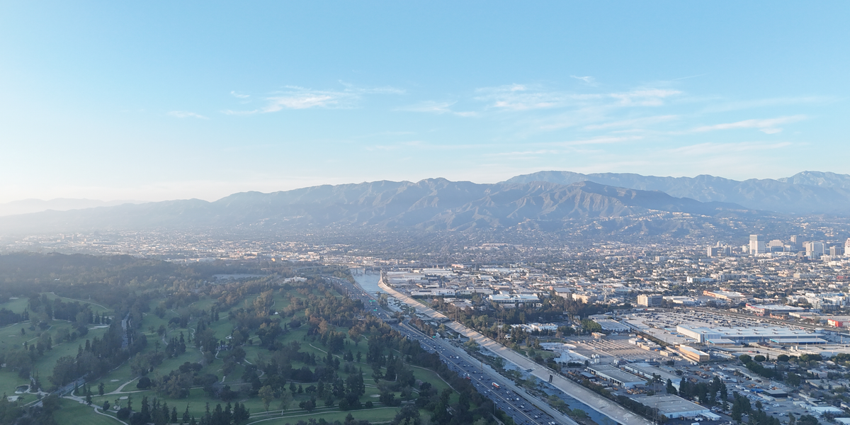


From the ridgelines of the Santa Monica Mountains, the San Gabriel range rises in the distance beyond the LA Basin. Clear conditions reveal layered skylines, from urban lowlands to the peaks of Mount Baldy, Throop Peak, and the front range.
Drone photography across Southern California offers a unique way to document terrain, infrastructure, and coastline—from the urban grid of Chula Vista to the cliffs of San Pedro and the inland trails of Cowles Mountain. Using the DJI Mini 4 Pro, each flight captures elements of the region that are difficult to access from the ground, making this gallery both a portfolio and geographic reference. Coverage spans beaches, mountains, and suburban landscapes throughout San Diego and Los Angeles counties, with content suited for travel, real estate, outdoor recreation, and land use projects.